|
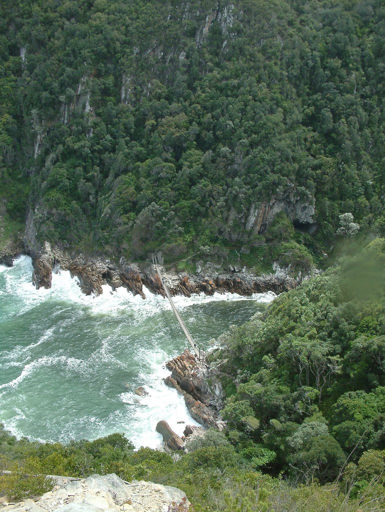 |
| Mouth of the Storms Rivier | |
| Latitude: S 34°1'13,25" | Longitude: E 23°54'18,71" | Altitude: 51 metres | Location: Stormsriviermond | State/Province: Eastern Cape | Country: Zuid-Afrika | Copyright: Ron Harkink | See map | |
| Total images: 8 | Help | |
|
|
|
| Mouth of the Storms Rivier | |
| Latitude: S 34°1'13,25" | Longitude: E 23°54'18,71" | Altitude: 51 metres | Location: Stormsriviermond | State/Province: Eastern Cape | Country: Zuid-Afrika | Copyright: Ron Harkink | See map | |
| Total images: 8 | Help | |